The Inn Way... series of walking guide books by Mark Reid offer an enjoyable and unique approach to discovering the wonderful countryside of England’s North Country... as well as its wealth of hidden and unspoilt pubs.
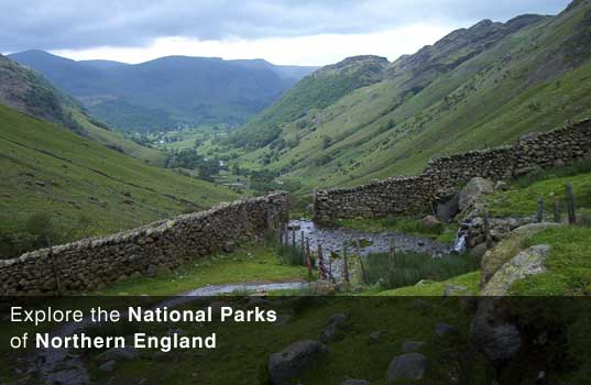
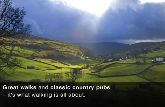
Discover for yourself the rich and varied landscape of the Yorkshire Dales, Lake District, North York Moors, Northumberland and Peak District. Inspirational landscapes, beautiful villages, local food and drink, history and heritage, classic country pubs - it's what walking is all about.
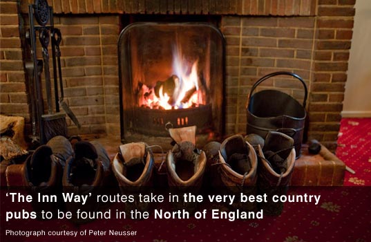
Spend several days walking from pub to pub through spectacular landscapes, travelling slowly and gently on foot, which allows more time to savour the special qualities that make these areas unique.
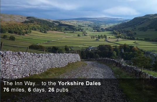
The Inn Way... to the Yorkshire Dales
76 miles, 6 days, 26 pubs
The Inn Way... to the Peak District
84 miles, 6 days, 51 pubs
The Inn Way... to the North York Moors
89 miles, 6 days, 31 pubs
The Inn Way... to the English Lake District
90 miles, 7 days, 44 pubs
The Inn Way... to Northumberland
94 miles, 6 days, 48 pubs
"His guides fuse local history, geography and geology with crystal-clear navigation."
The Sunday Times
"The latest book by acclaimed rambling scribe Mark Reid, it once again draws upon his extensive knowledge of the North Country's footpaths, historic villages and premiership boozers."
The Guardian


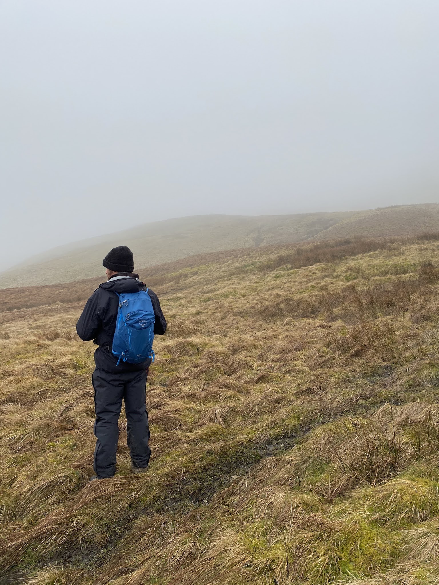
Advanced Navigation Skills
Buckden, Upper Wharfedale
29th March 2021
The first day back after Lockdown #3!
It was great to back out on the hills, despite the 40mph winds on the tops!


The Yorkshire Dales 600s
There are 42 mountains and fells in the Yorkshire Dales over 600 metres, with a relative height of 20 metres or more. This website charts a walk to the summit of each and every one of them. Some of the summits are well-known and well-trodden, whilst others only see one or two pairs of boots each year.
This photographic journey began in February 2010 and I finally completed the Yorkshire Dales 600s in January 2019, with a walk to the 'summit' of Brownber Head.
Cheers, Mark Reid